JOURNAL
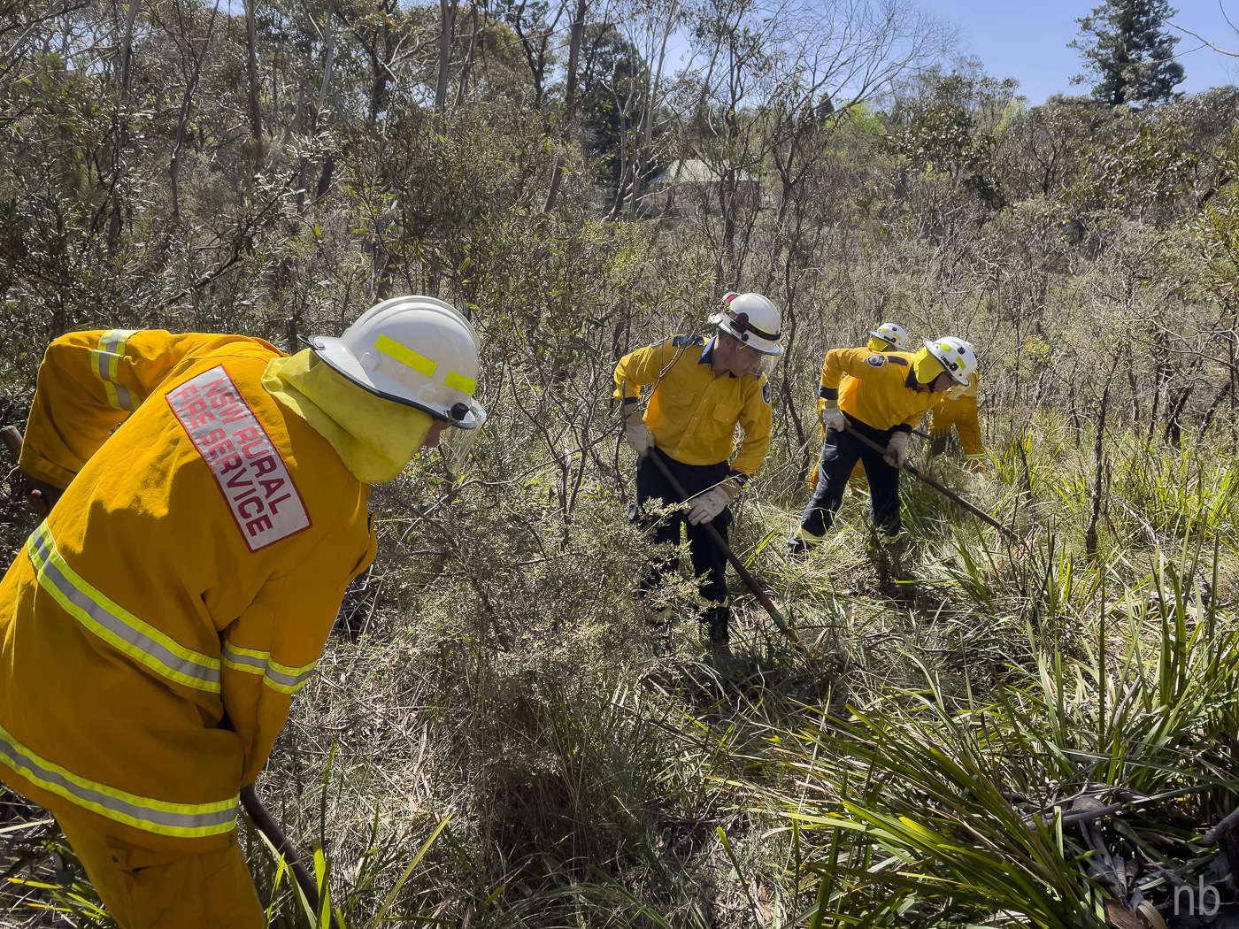
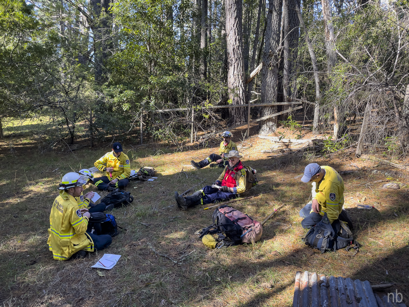
BASIC FIREFIGHTING ASSESSMENT 24 September 2023 Three of our members are getting assessed today! I will assessing the candidates except those from my brigade! This is an all-day practical assessment consisting of several tasks and an exercise. We established several stations: hose rolling and bowling (my station), portable pumps, simple fire response, urban navigation (route planning), tool identification, trail cutting and radio communications. All the candidates also have to participate into a firefighting scenario incorporating an overrun drill and a […]
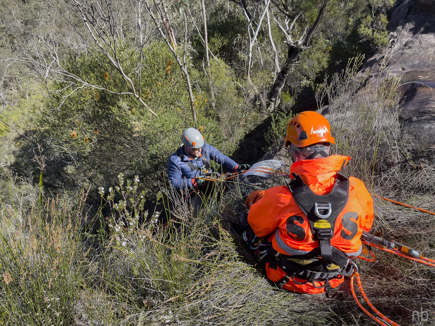
VR TRAINING 9 September 2023 A day out in Lawson for some vertical mobility training with the Blue Mountains SES team…
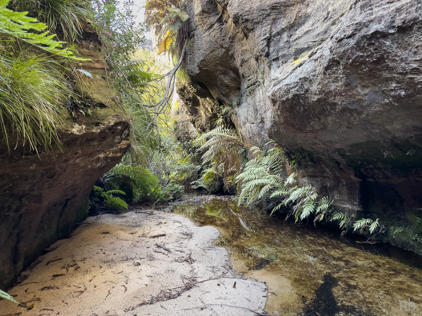
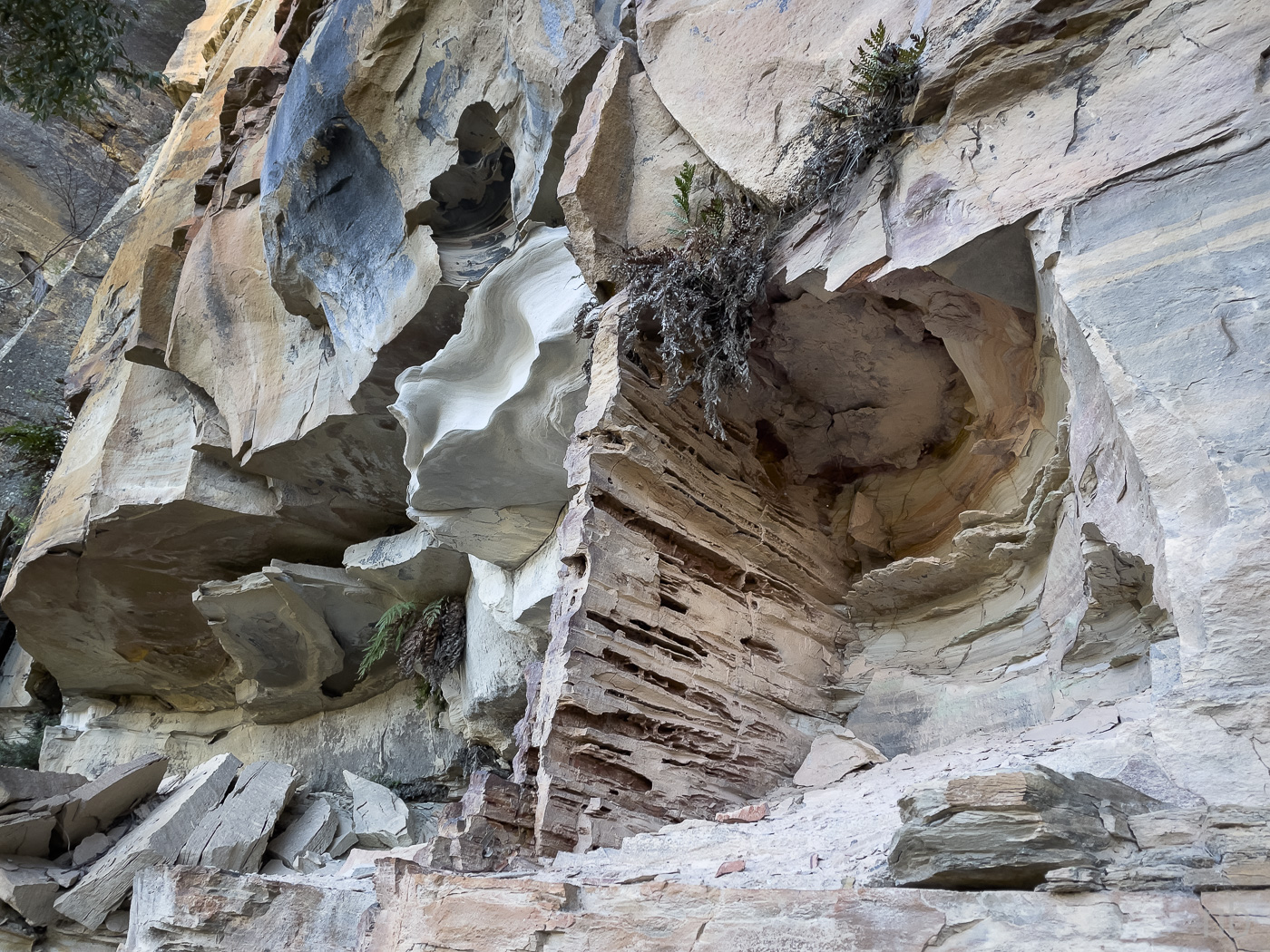
YARRAMUN CREEK TO DO 30 July 2023 I was curious about Yarramun Creek so when it popped up in the walk program, I put my hand up! This promised to be a long day but the navigation was easy and the vegetation was cooperating. The hardest thing was climbing the other side of the Wollangambe River – both ways! Not many views along the way but we were gratified to find an aboriginal rock well with its cover and several […]
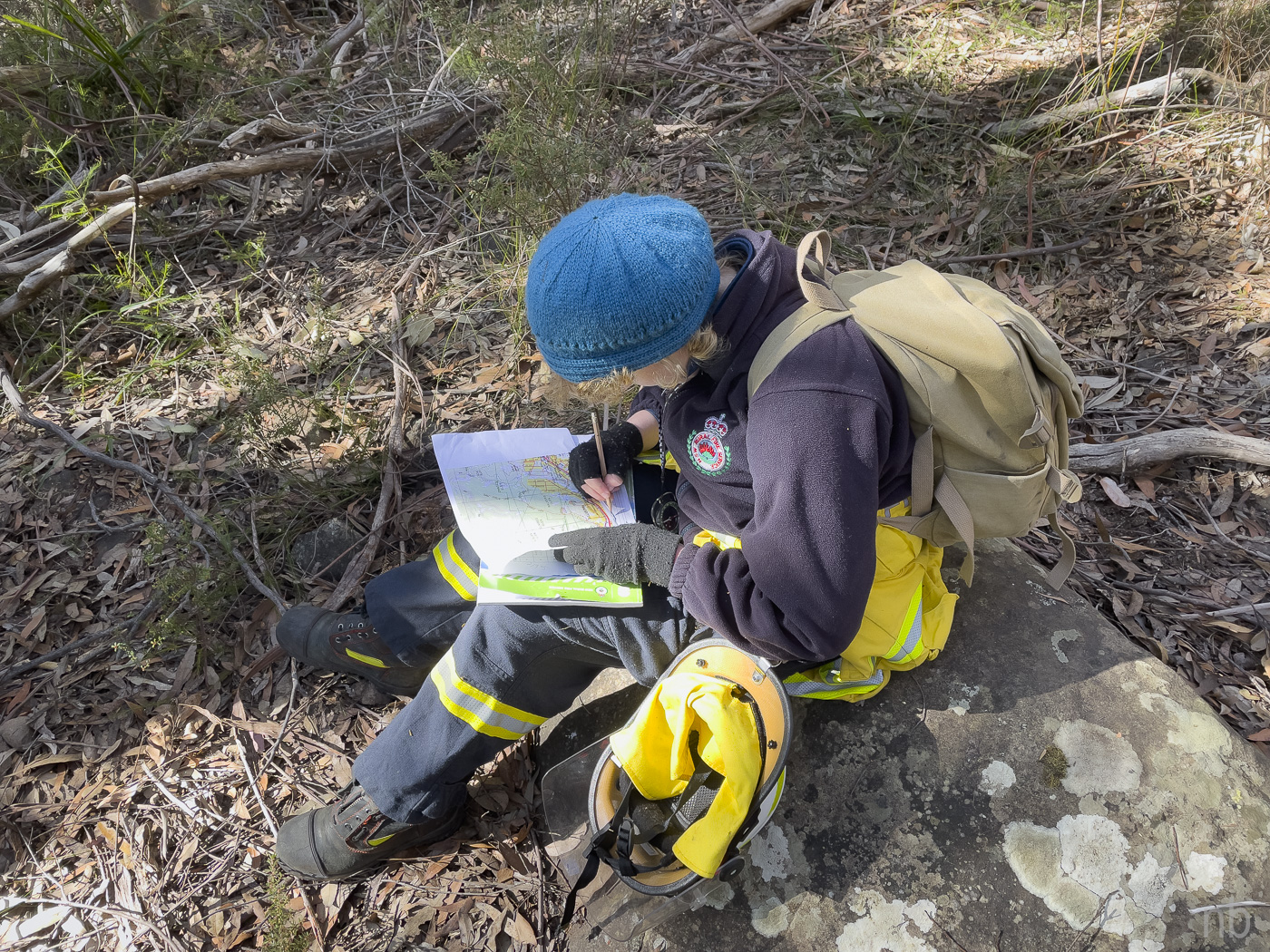
NAVIGATION COURSE ASSESSMENT 22 July 2023 Saturday was assessment day! The teams headed to Bullaburra for a few hours of bush navigation. I tagged along with a few groups but had to head back to the top to deal with the never-ending paperwork!
NAVSHIELD – DAY 03 16 July 2023 After a good night sleep, it was time to go. I caught up with the Hills RAFT team which was doing the two-day event: they wisely spent the night at camp! We were soon on the road via Mudgee for a change of scenery!

NAVSHIELD – DAY 02 15 July 2023 I was up early and went in search of coffee and food – readily available at the Salvos catering area! Kevin did not emerge for another hour… We were soon attending the opening ceremony and the briefing! Excitement was in the air! Finally 09:00 arrived and we set out on our journey of hill climbing and descents! We found the first two controls easily although the second one required some climbing! Then we […]
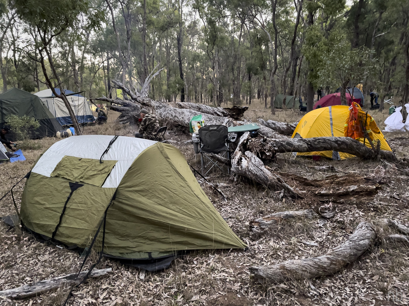
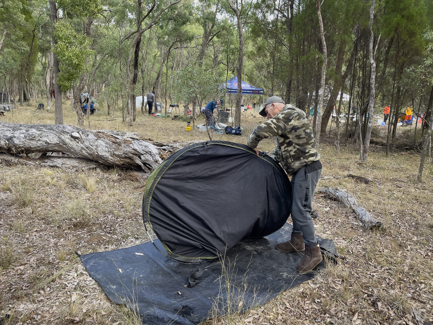
NAVSHIELD – DAY 01 14 July 2023 It was with trepidation that Team Blueys set out to Goulburn River National Park for the 2023 Navshield. After three hours on the road we arrived at the specified grid reference and set up tents, table, chairs and fire pit. The list of control points was available at 18:00. We plotted the points and after some discussion decided upon a route. Dinner and bed followed! Last year I was so cold that I […]
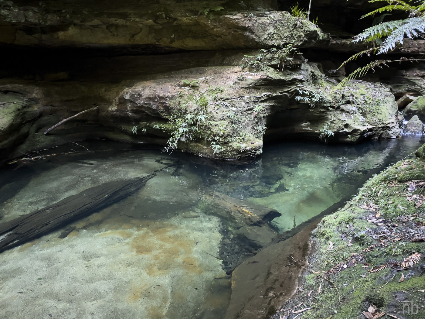
KING GEORGE BROOK 30 June 2023 King George Brook has a “dry” section. Neither of us had been there so we took the chance! We decided to navigate using map and compass only. Having recovered from a few navigational errors, we eventually arrived above the side creek of interest that we wanted to explore. Unfortunately the vegetation was horrendous! So we contoured to the intersection of the side creek with King George Brook. Two small abseils, the last one into […]
NAVIGATION COURSE TO DO 25 June 2023 After a day going through the theory, it was time to practice. Six teams of four went different ways and spent the day learning the finer points of navigation on Kings Tableland plateau. Although a windy day, it was so nice being outside!
KAMARAH RIDGE – CANYON COLLIERY 21 June 2023 A layer of frost was covering the landscape when we started walking along Kamarah Ridge. The sun melted the thin layer of frost; however in the shade, danger was lurking! As soon as Bill warned me that the rocks were slippery with ice, my feet parted company with the ground… Eventually I made it gingerly to the end of what I call “Kamarah Finger” with no further encounters with the ground. The […]