Another hot day, another creek! Today: Explorers Brook!
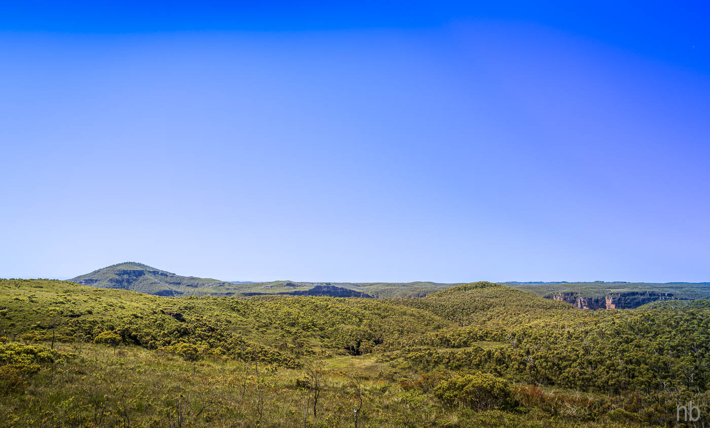
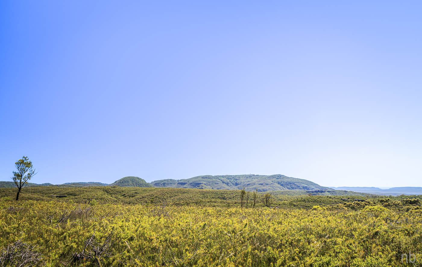
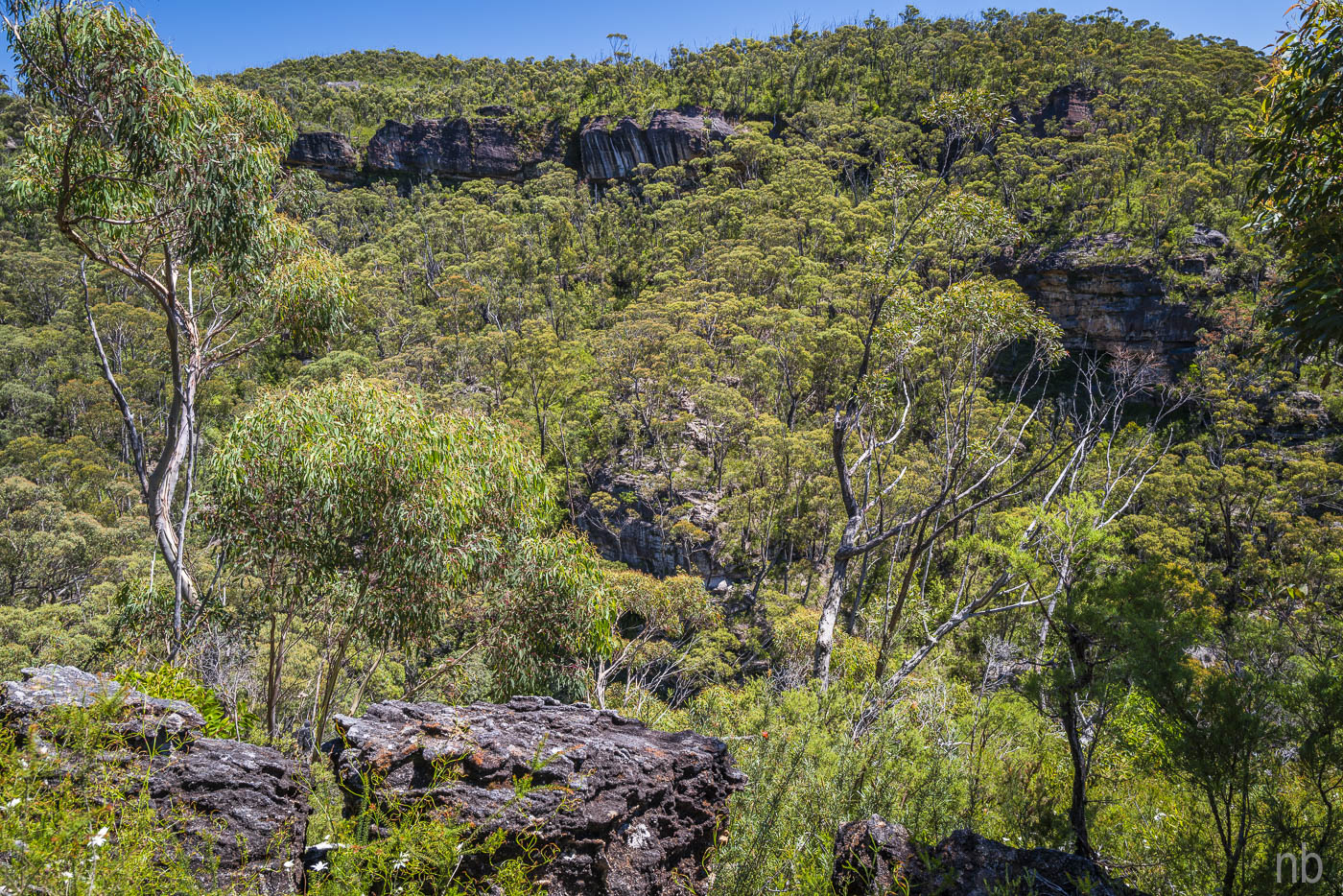
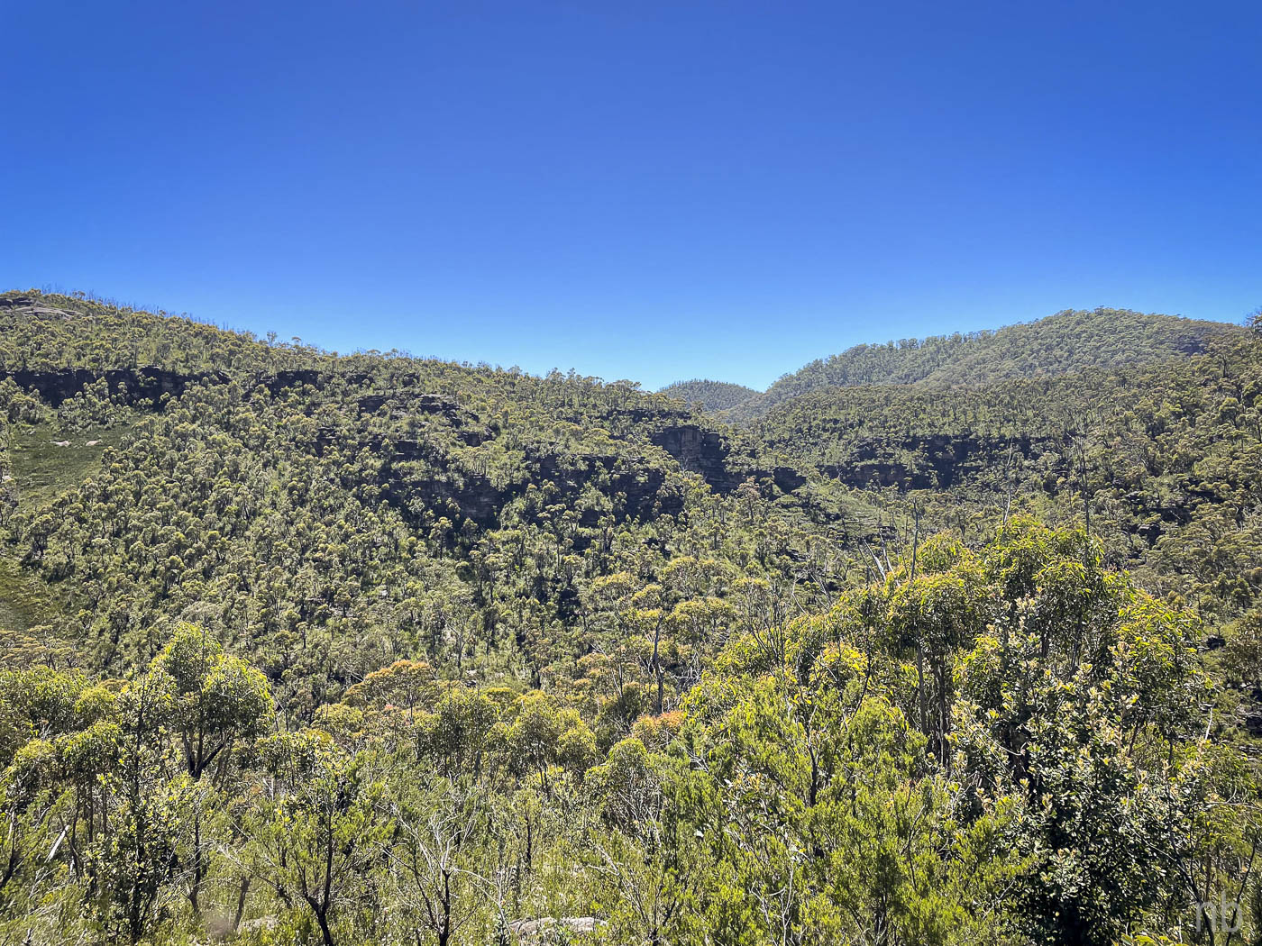
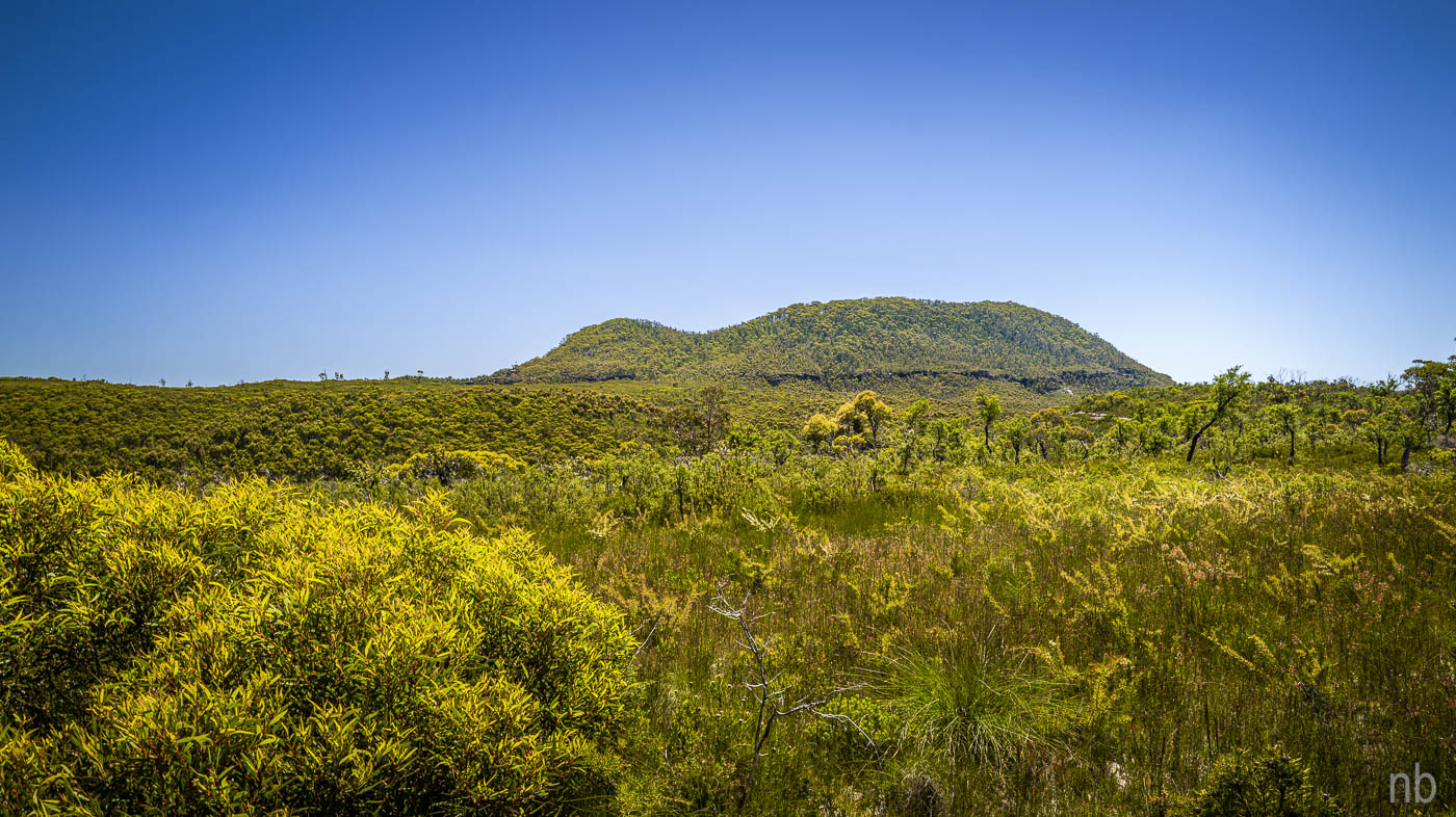
The ridge we followed must have been a fire trail a long time ago: two tracks were visible in one spot but it was mostly covered with vegetation. The views were fantastic! The trifecta: Mount Hay, Mount Tomah and Mount Banks.
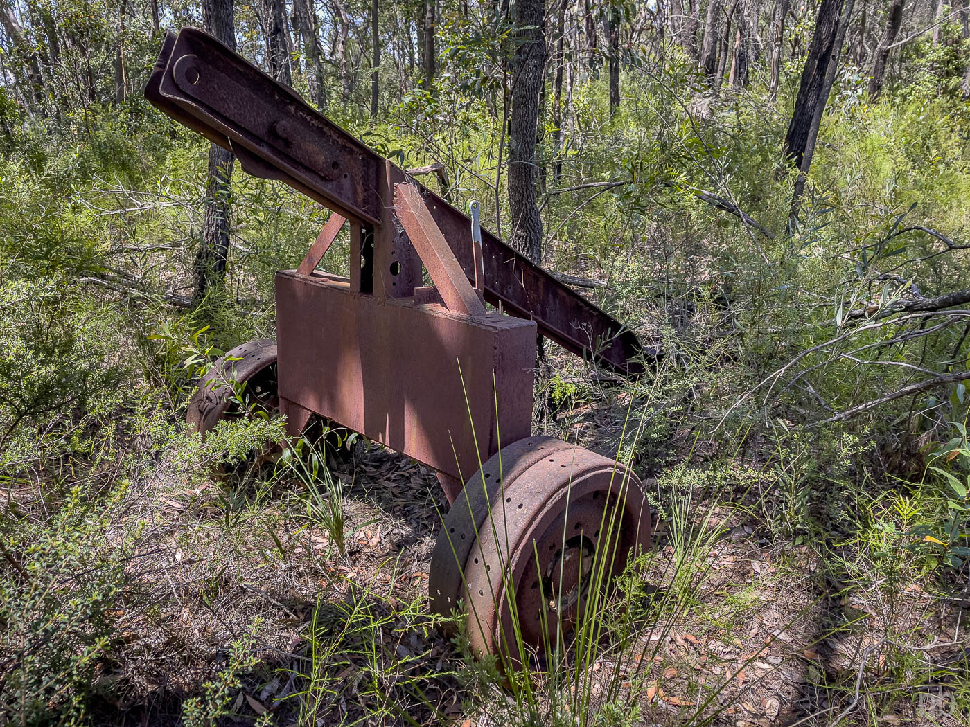
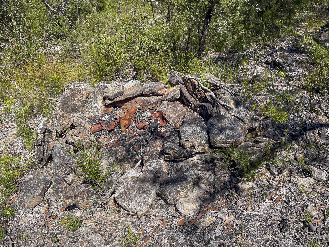
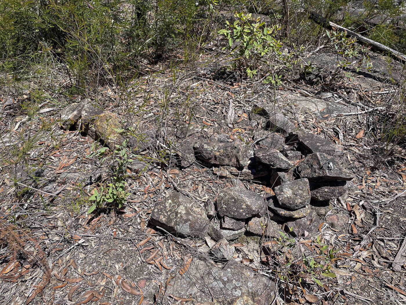
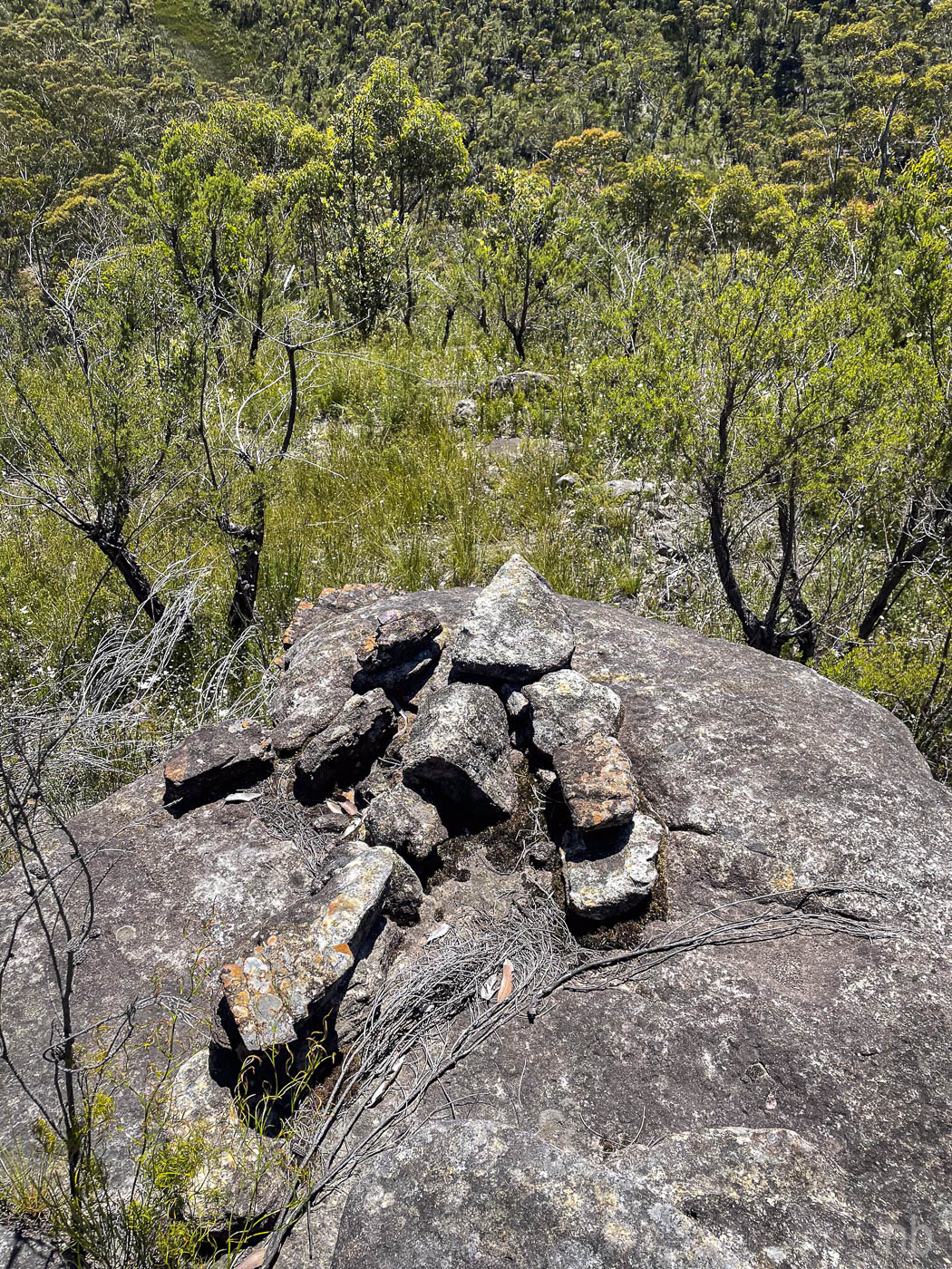
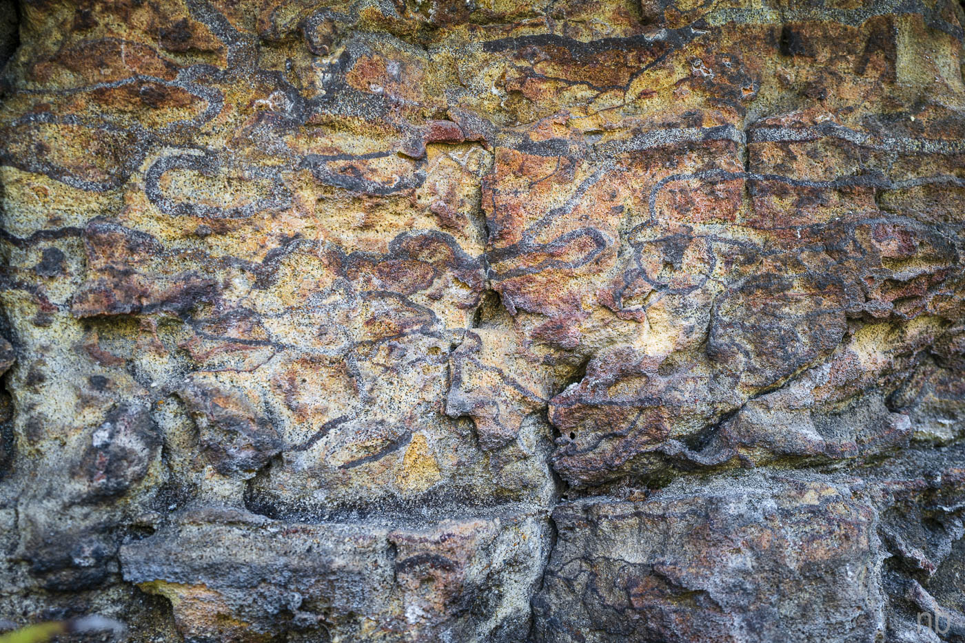
We found an old campsite with rusty metal parts and further along a cairn in the shape of an arrow! We continued to the end of the flat part of the ridge and found a second stone arrow! Glad to know we were on the right track! We went down though the clifflike and reached the end of the ridge where we found the third arrow: it pointed to a way down to Explorers Brook. We ignored this and found an easy descent that got us further upstream.
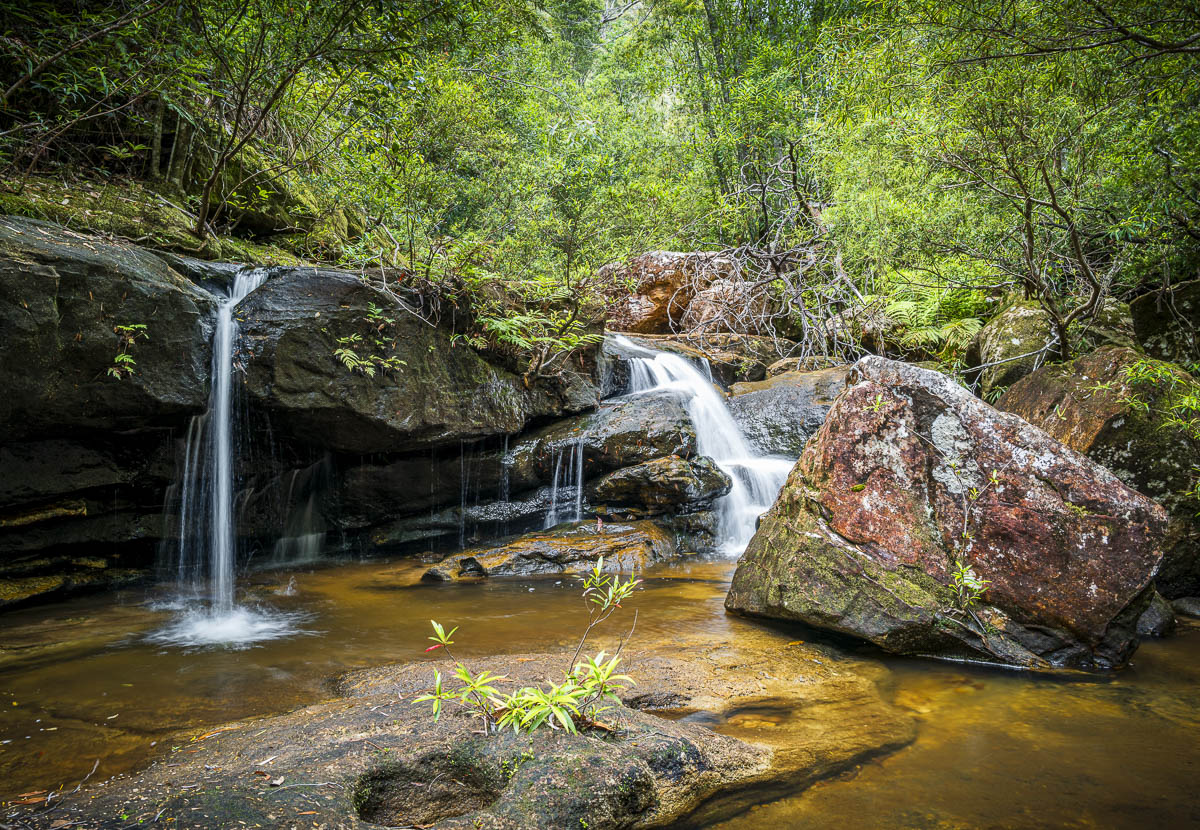
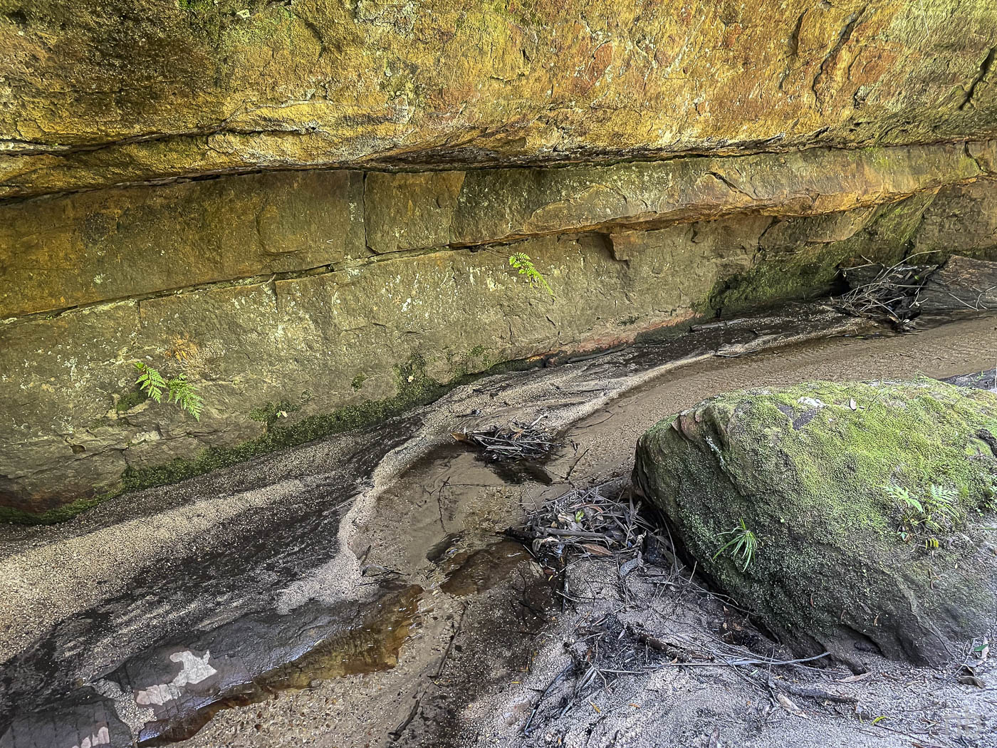
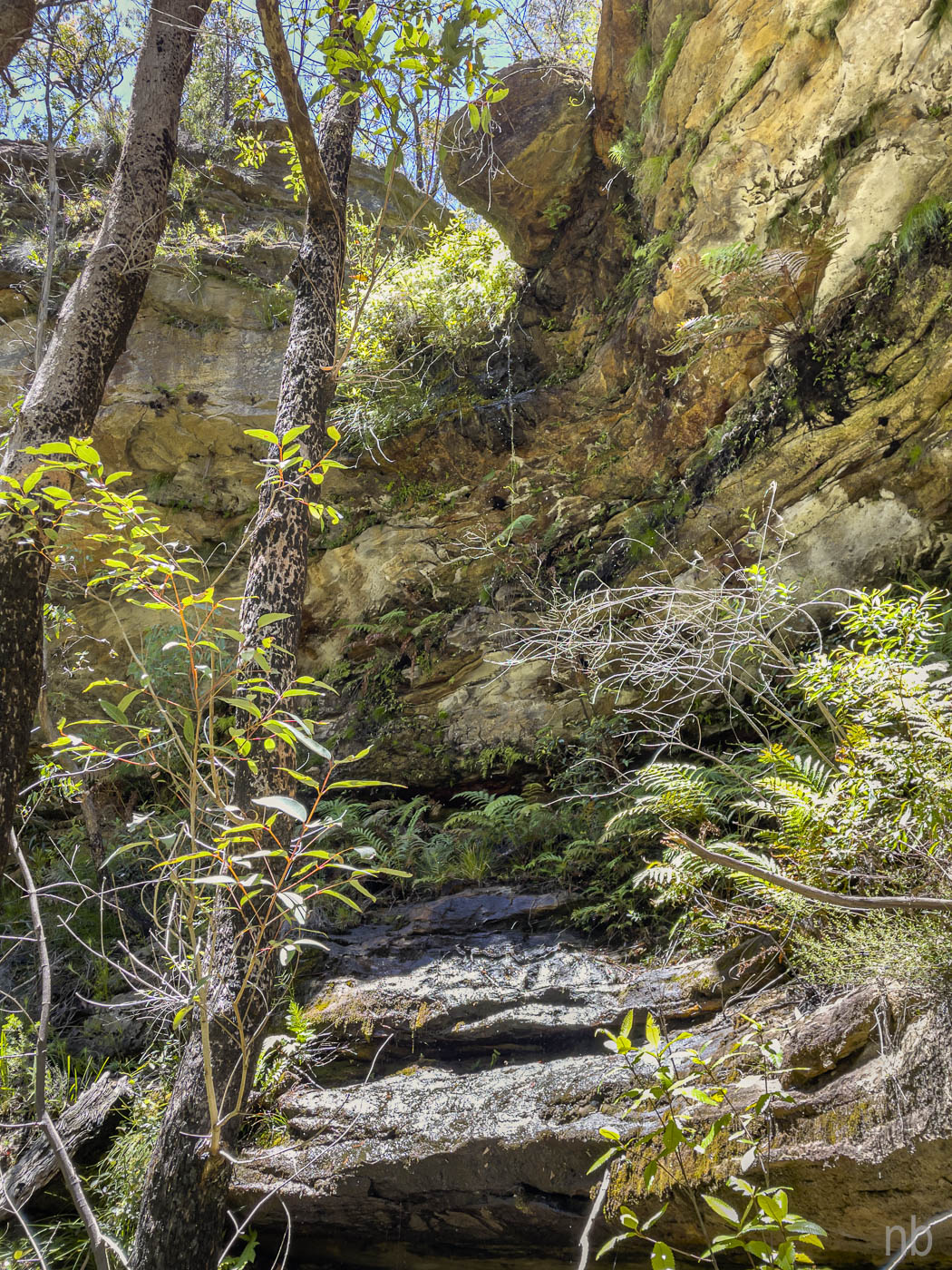
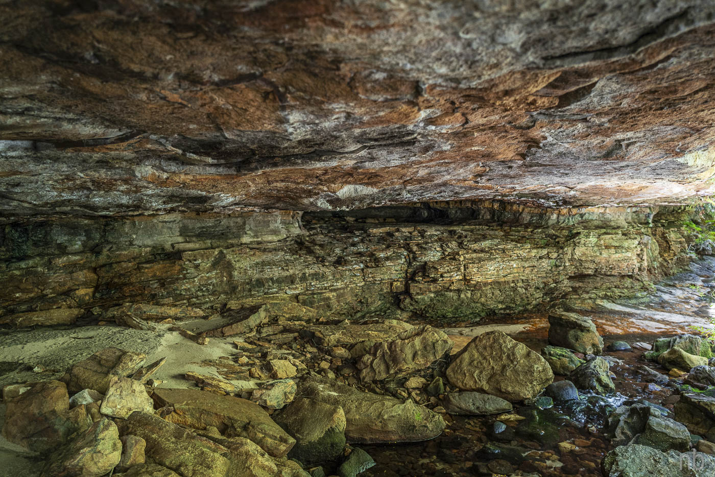
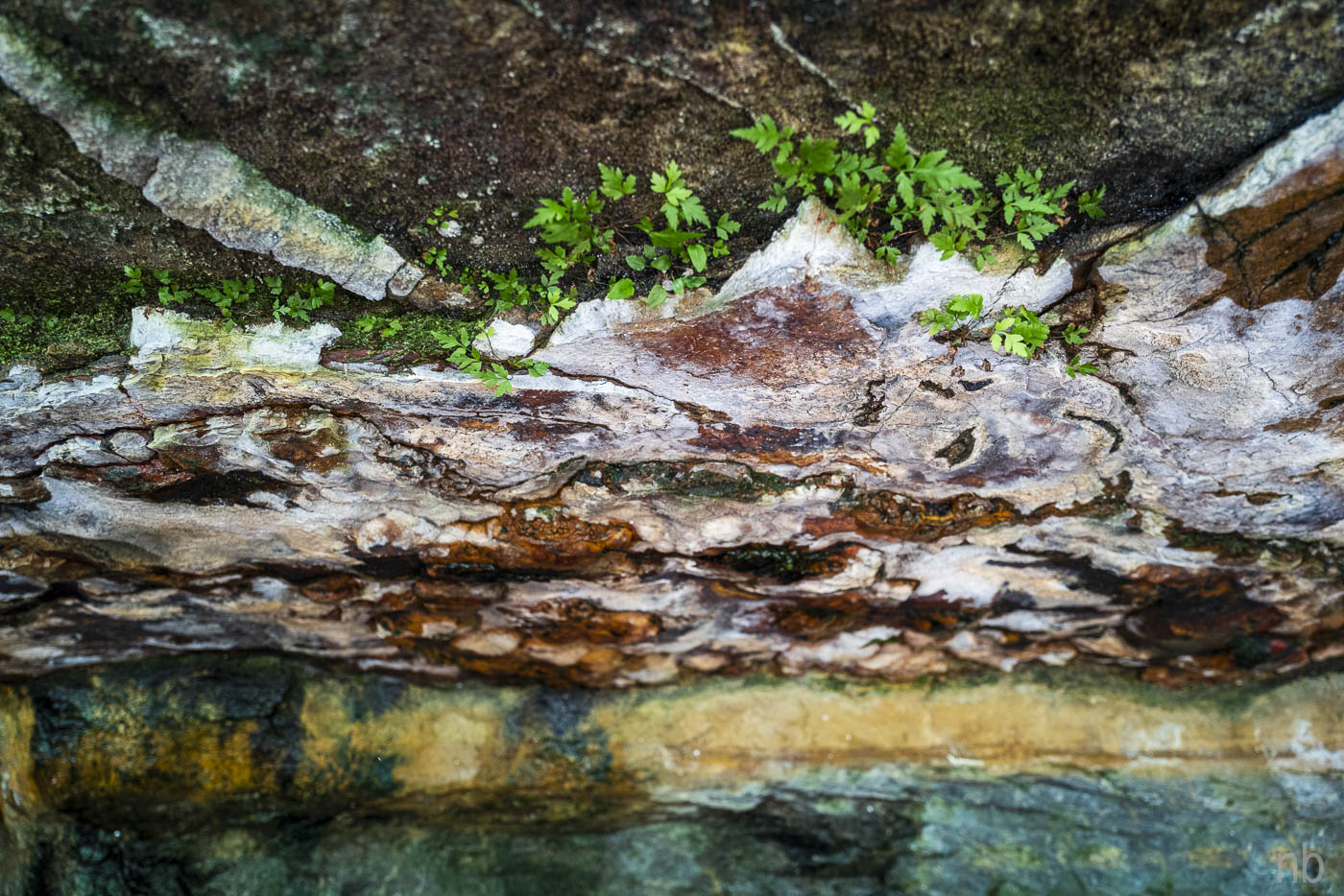
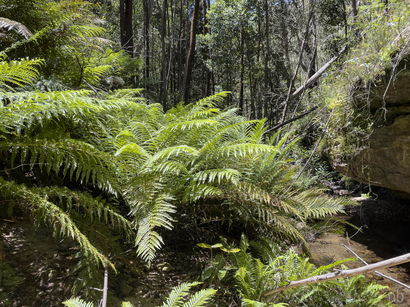
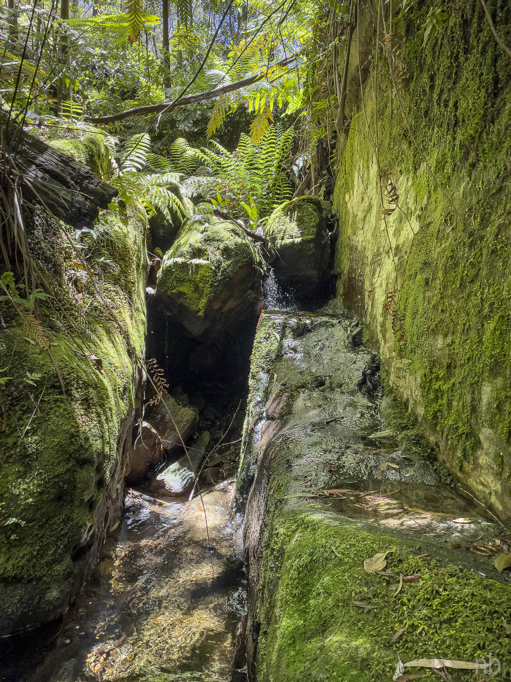
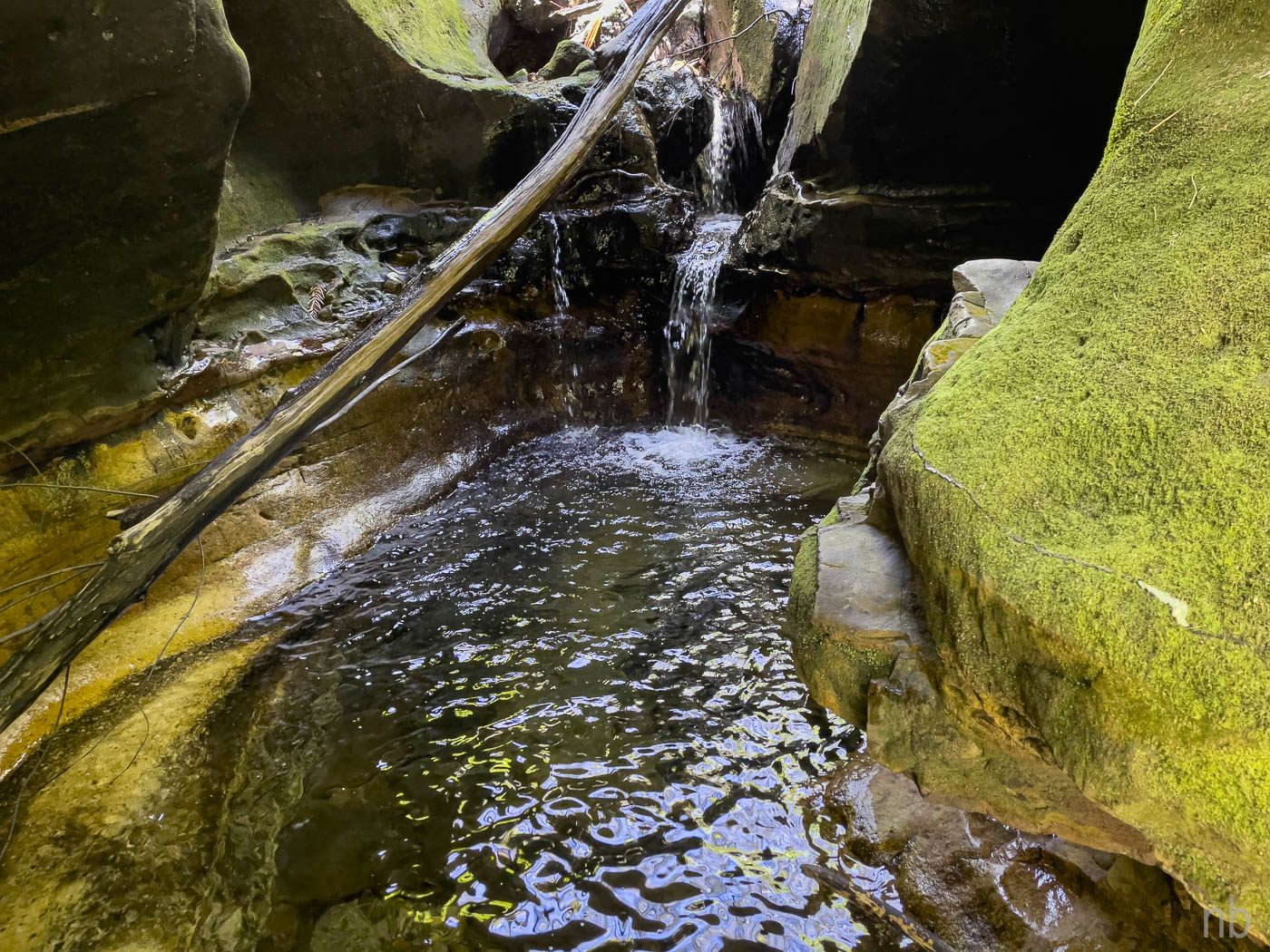
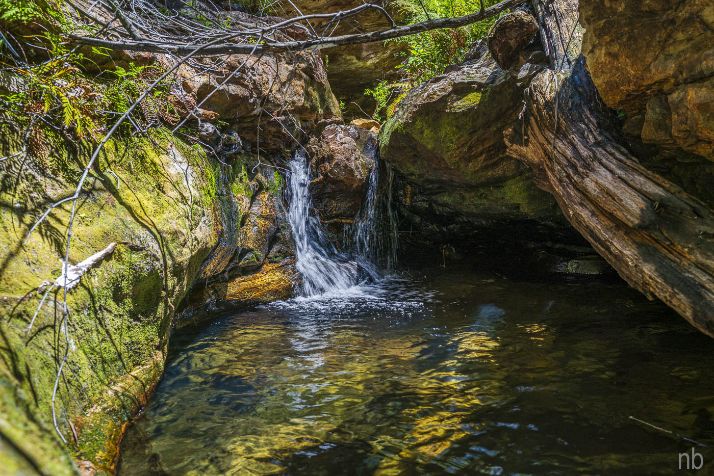
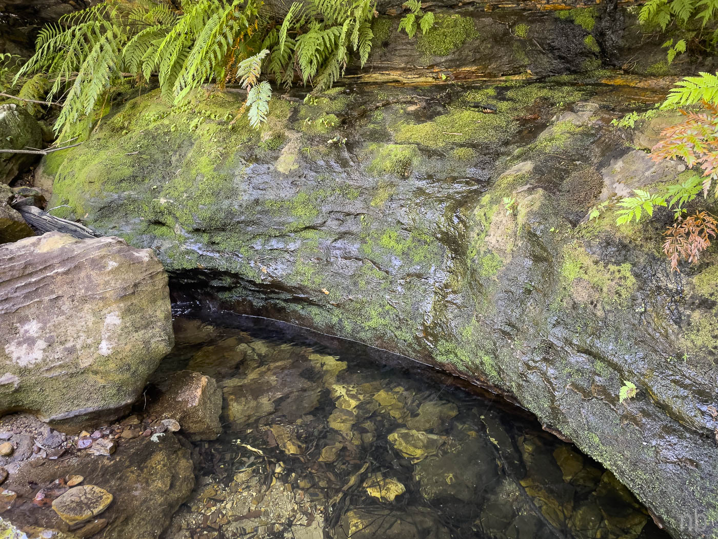
Explorers Brook did not have a lot of water. We followed it downstream and managed to avoid a deep pool. This was an open section of the creek and it was average! Soon we were on the tributary that would be our exit. We were progressing nicely until we hit a waterfall with a deep pool: we were stuck! We found a way through the cliff which required some climbing and some huffing and puffing! From then on it was easy (but steep).
We emerged on Banks Ridge and it was a breeze back to the cars!


