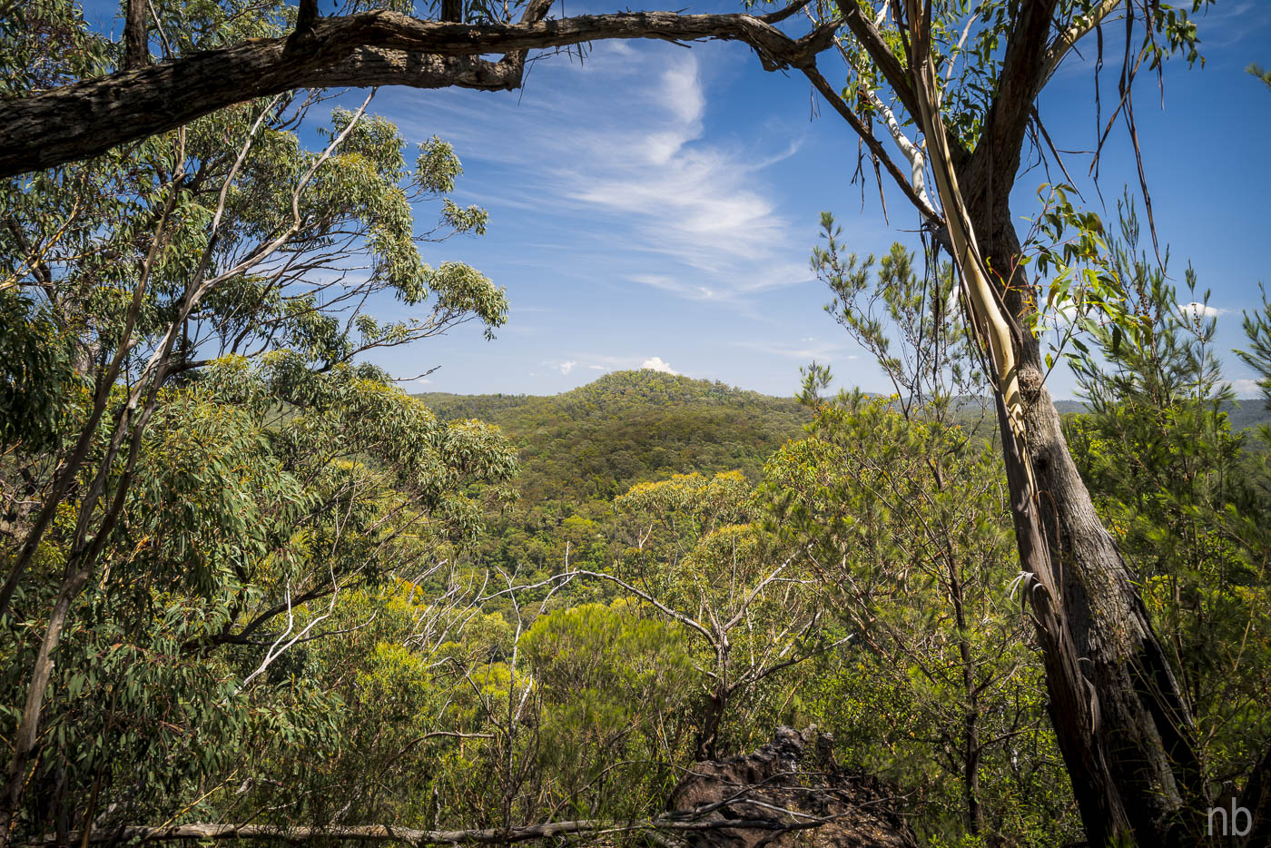
It looked easy on the topo map: two fire trails and a track: two hours max should do it! Then off track to a creek and down to the major creek and some exploration. Little did we know!
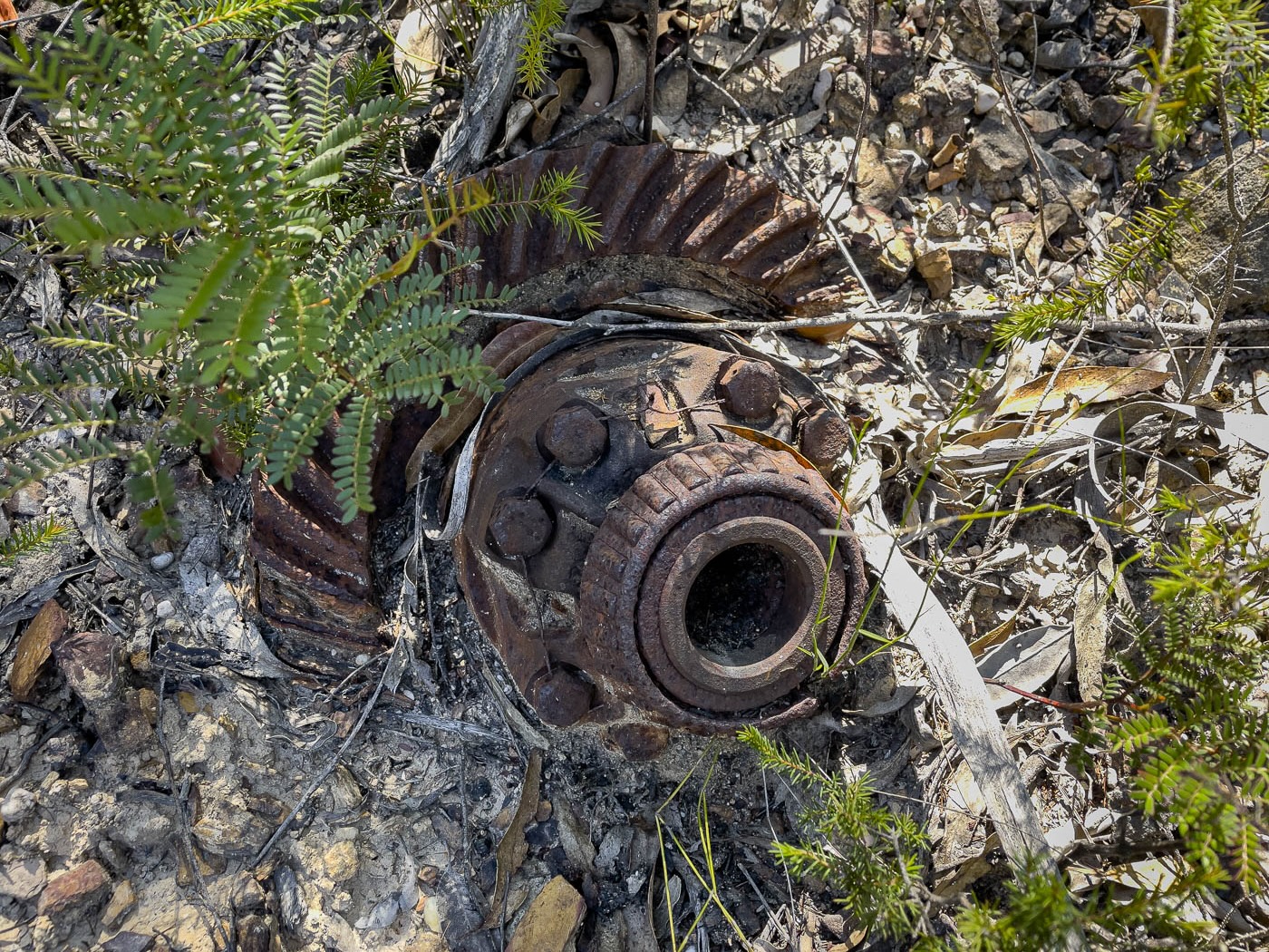
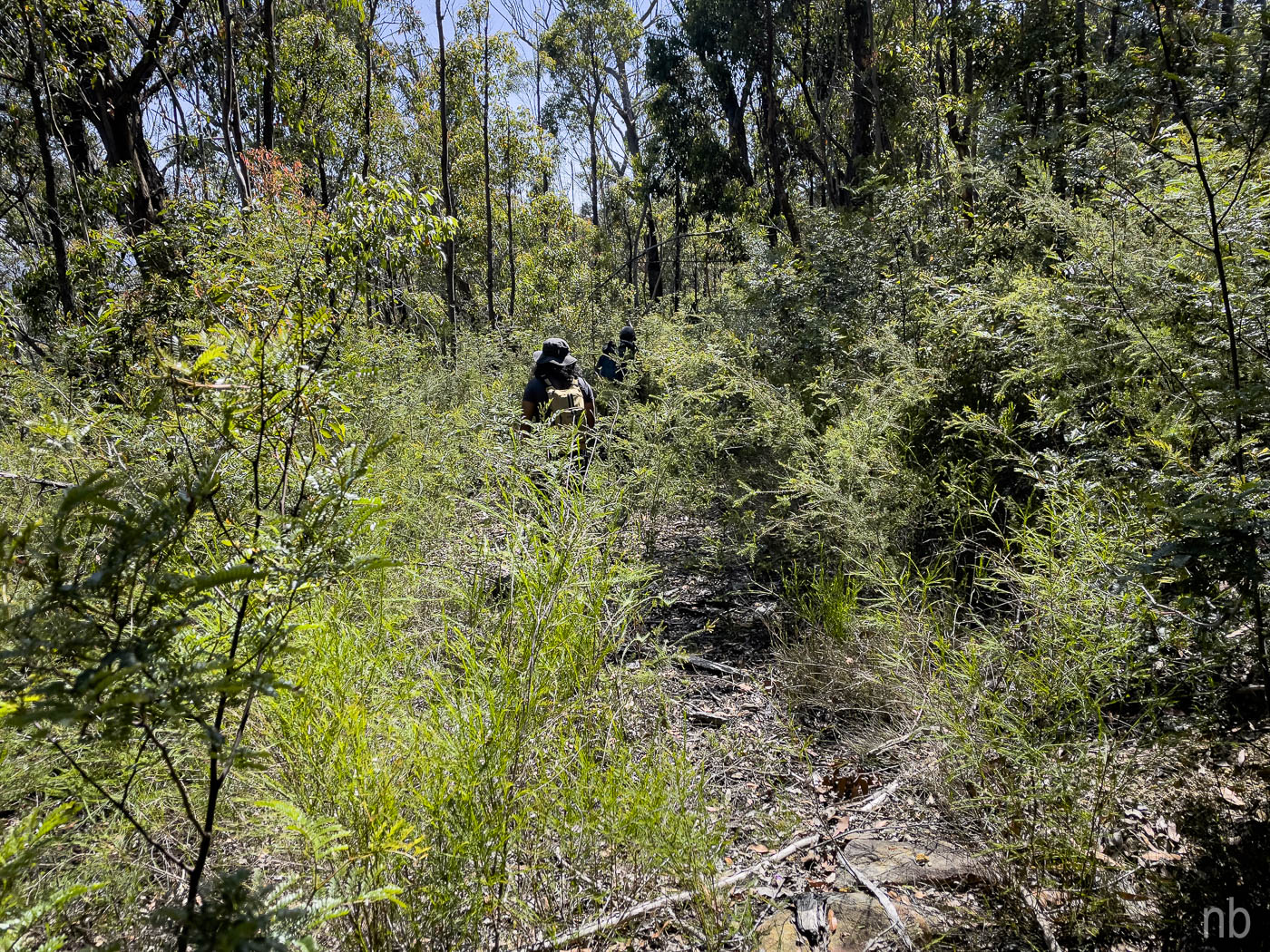
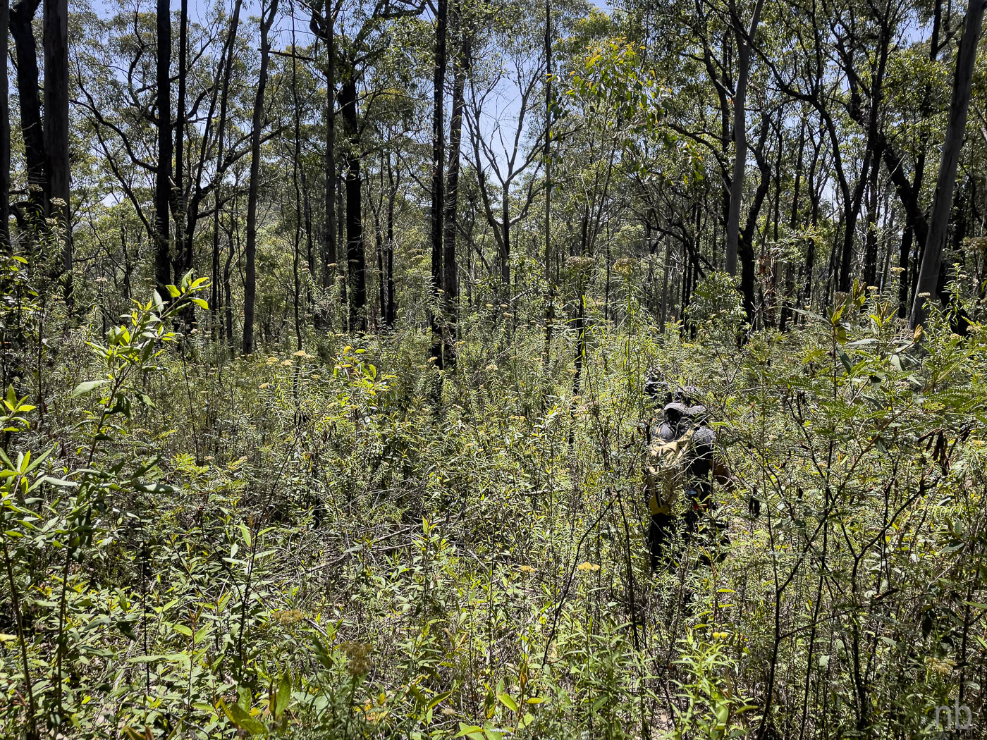
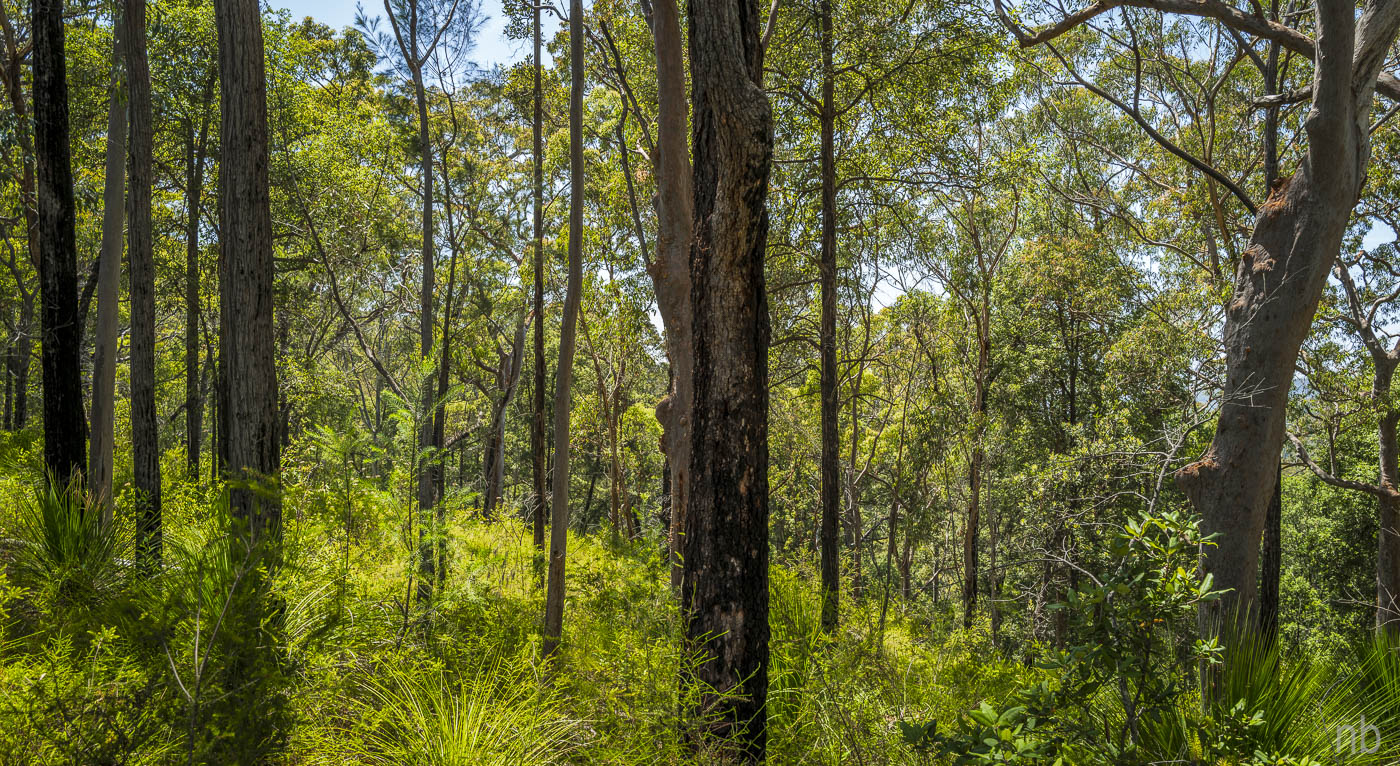
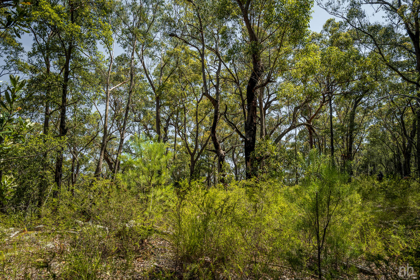
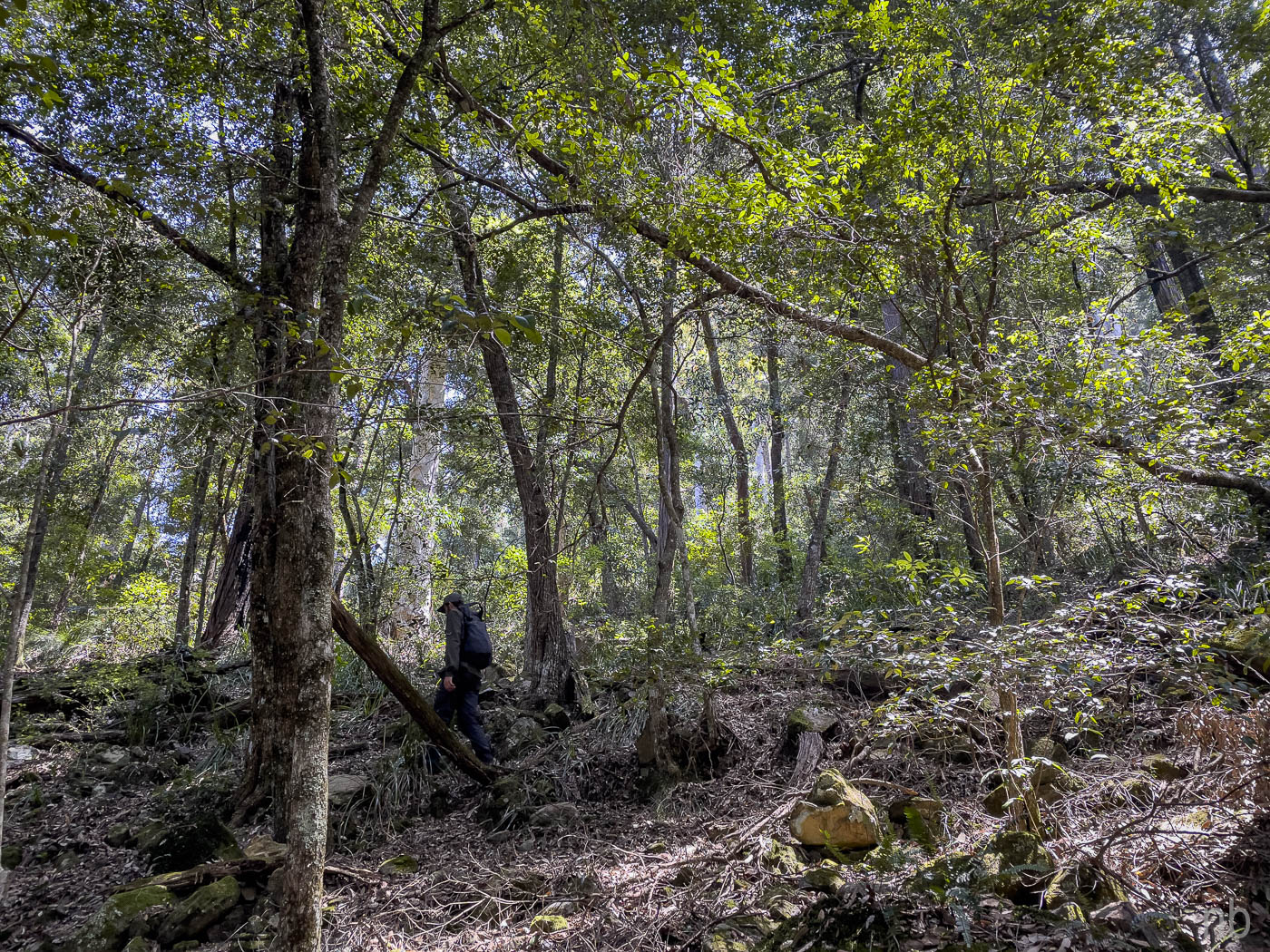
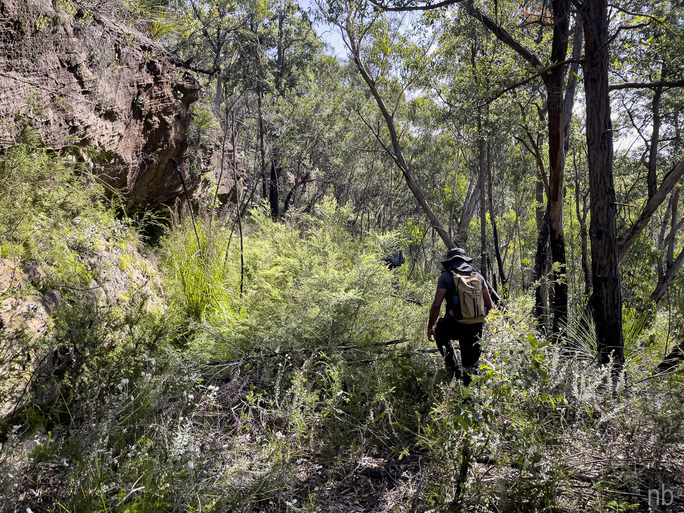
We left early, drove to the locked gate and we were on our way! The first fire trail was a bona fide one! The second one was a fire trail in a former life: this was confirmed by a gear and a leaf spring shock absorber found on the side! The 2019-20 bushfires did not help: the track was littered with dead branches and trees and the new growth hid the track in some places. We soldiered on!
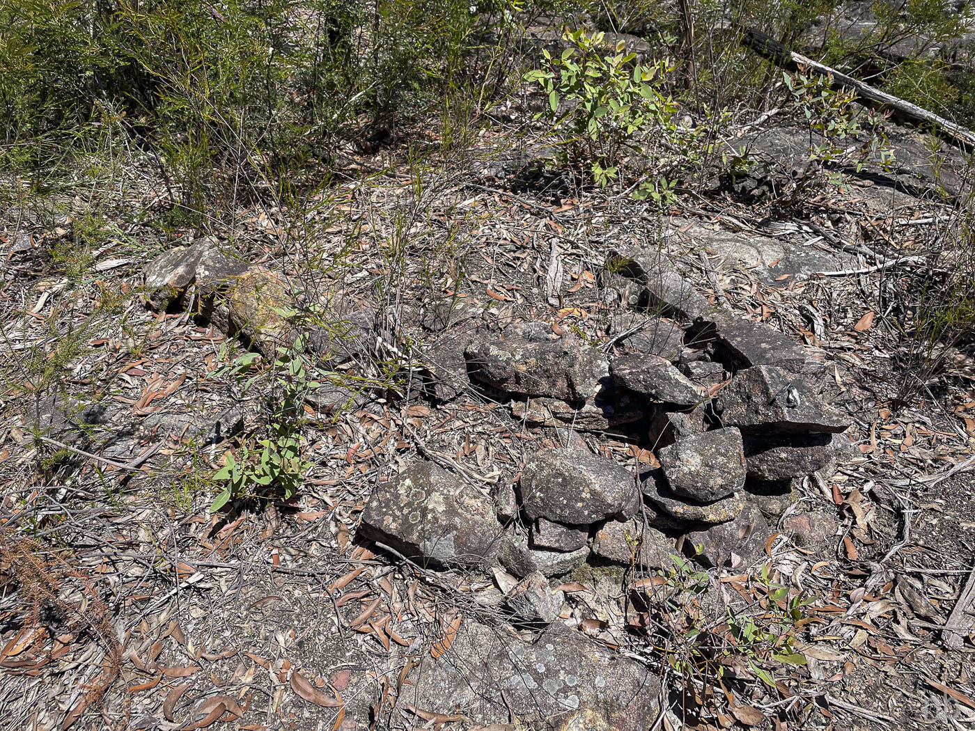
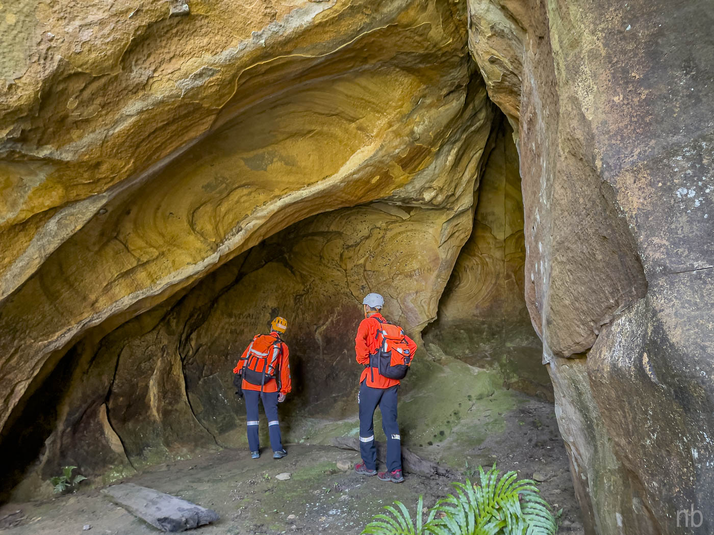
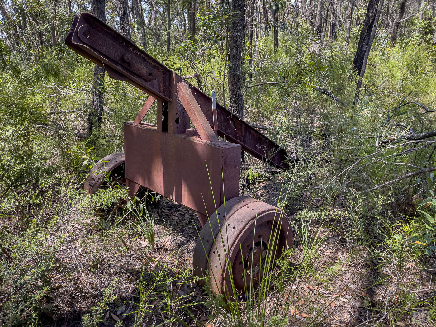
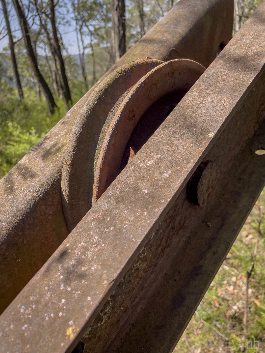
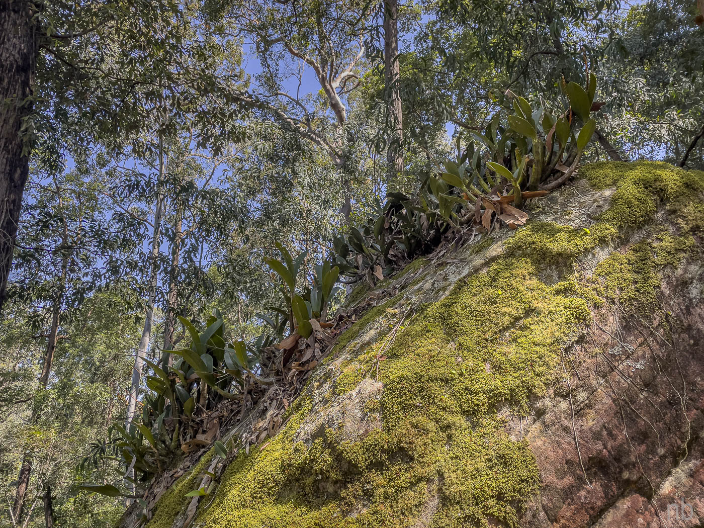
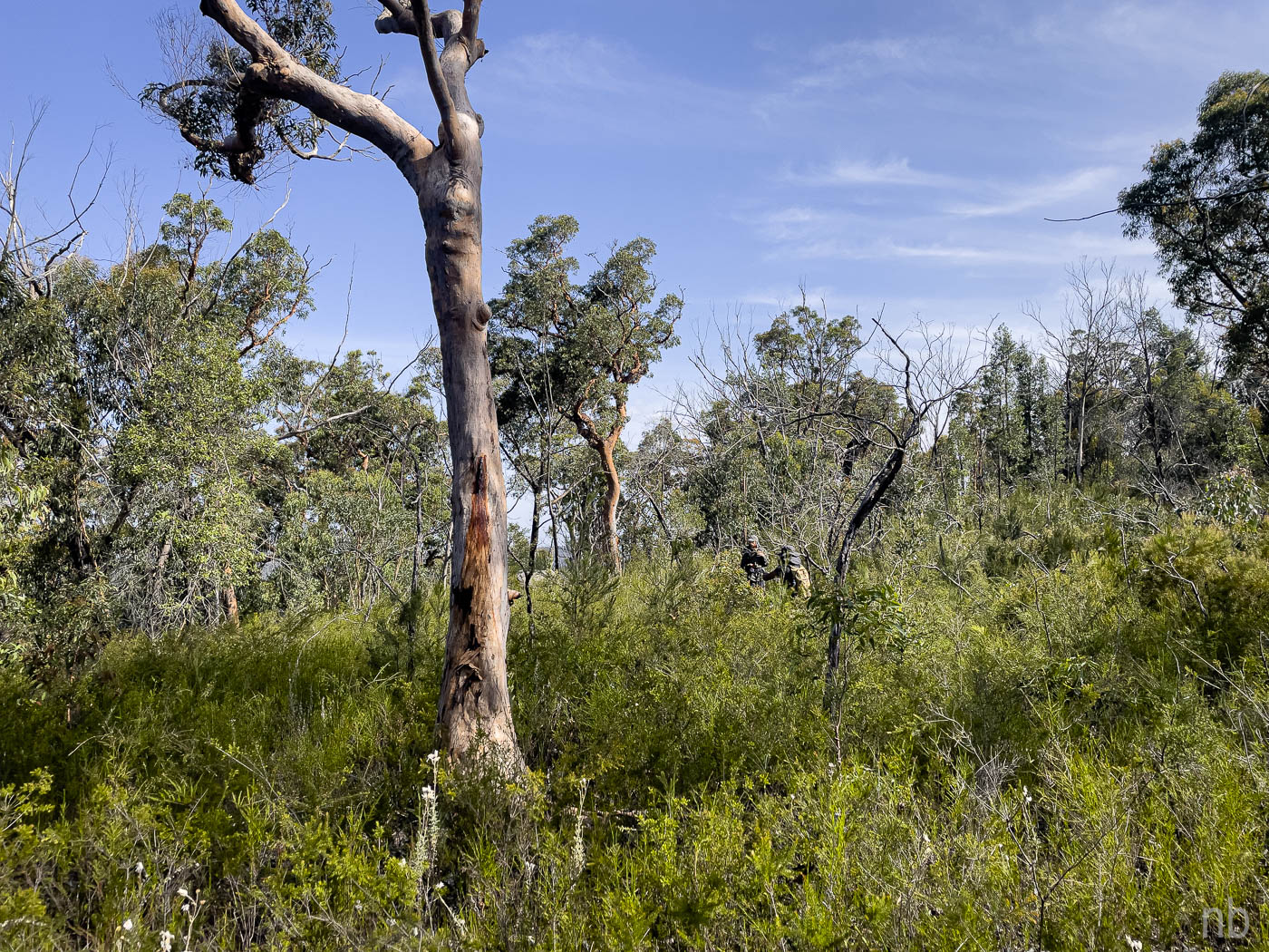
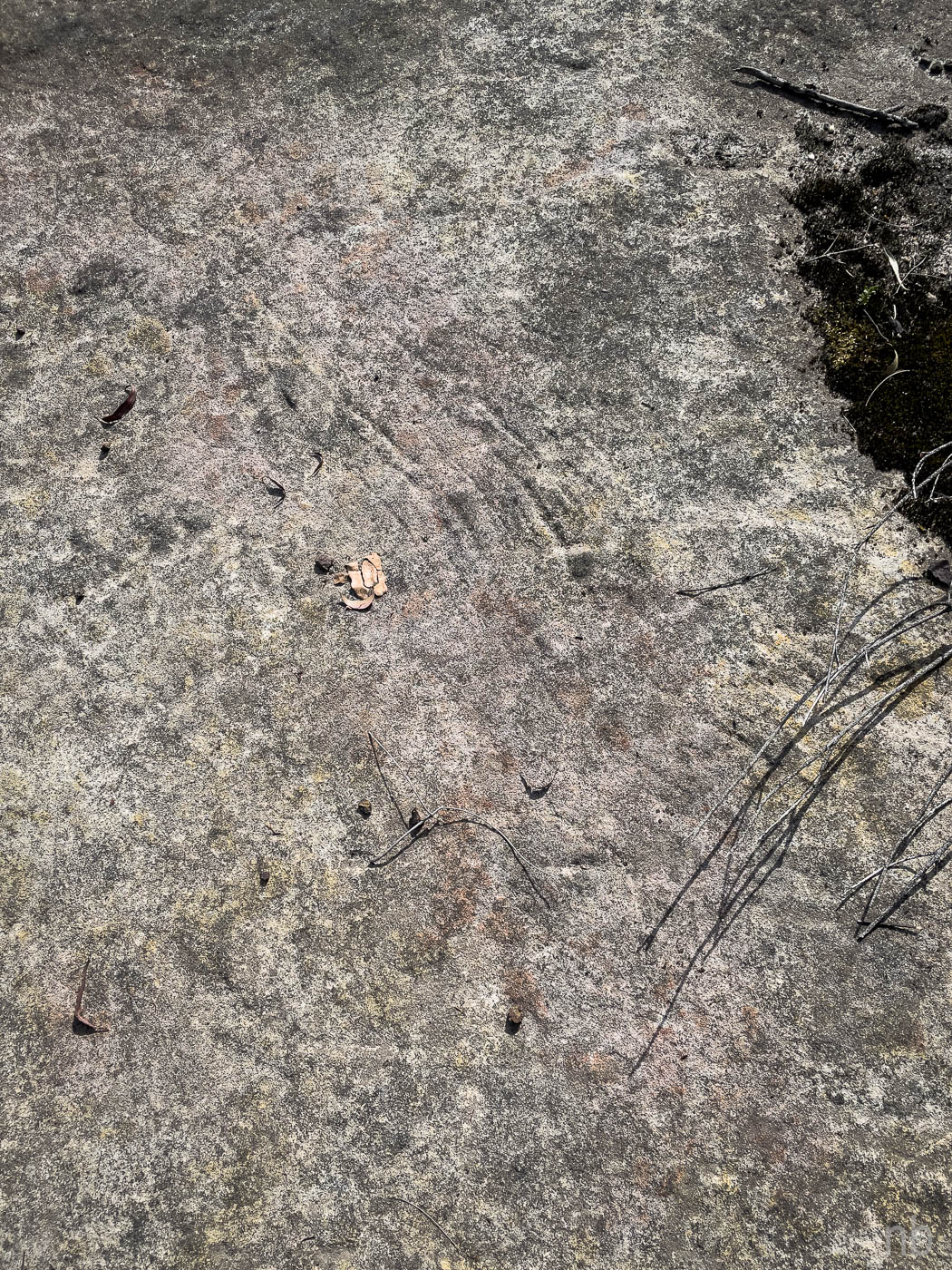
We eventually arrived to the “track” on the map and things got interesting! Thanks to the GPS we were able to locate its position. The track turned out to be an old fire trail as well: there were dozer marks on rock platforms and in some sections, although vegetated, the trail was easy to follow. The highlight was a piece of machinery that seemed to be used to lift things and would have been towed by a truck. It had taken us three hours to get there. We decided to go down to the creek, have a swim, lunch and go back!
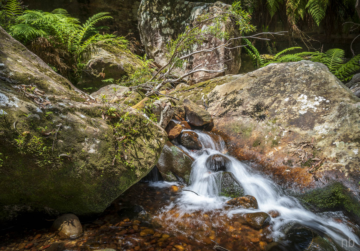
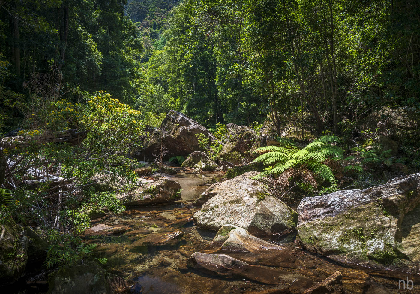
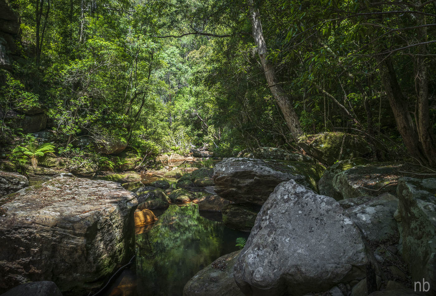
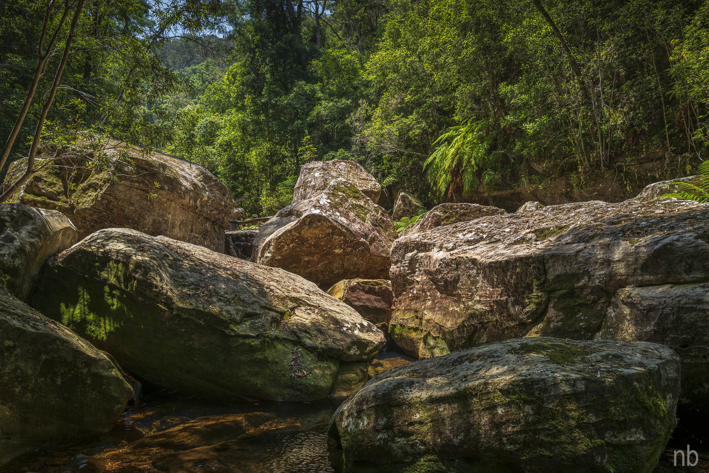
The walk down to the creek was not easy either: we got ambushed by lawyer vine (secateurs came in handy!) and the pollen made us cough all the way down! But we did reach the creek!
What followed was one hour of pure bliss: cool water to dip in, shade, the sound of water… but we had to go back! Needless to say: the way back was as taxing as the way in (fatigue had set in) but we made it!
PS: a quick look on the 2022 edition topographic map shows the same fire trail and track featured on the older map that I was using. It might be worth an update!


