MGA NORTH
MGA NORTH
22 May 2023
MGA NORTH
I came across this term last week when someone mentioned MGA North during an instructor training course.
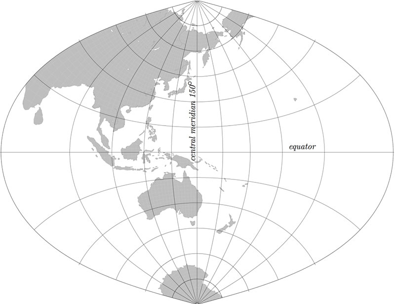
MGA stands for Map Grid of Australia. It is a projected coordinate system using a Transverse Mercator projection with zones 6 degrees wide and based on the Geocentric Datum of Australia (GDA).
The projected coordinate system associated with GDA94 is the Map Grid of Australia 1994 (MGA94). While the map projection associated with GDA2020 is the Map Grid of Australia 2020 (MGA2020).
For all intents and purposes, MGA North is Grid North!

MGA North
Map and Navigation

Copyright 2024 - Disclaimer


