DECLINATION DIAGRAM
DIRECTION
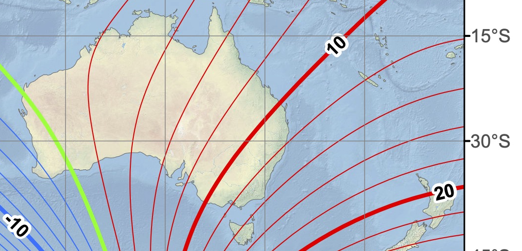
When a compass is used with a map, a correction must be applied to allow for the Magnetic Declination (the angle between Magnetic North and True North).
The compass needle points to Magnetic North and the north-south lines on the map points to Grid North: Magnetic North and Grid North are in general not aligned!
The angle of interest is the angle between Magnetic North and Grid North: the Grid/Magnetic Angle.
The last piece of the puzzle is the angle between True North and Grid North: this is called Grid Convergence: this angle is known.
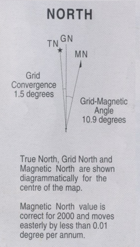
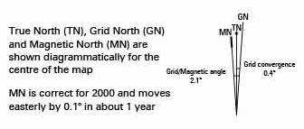
The declination diagram drawn on maps such as the one below, shows the angular relationship between True, Magnetic and Grid Norths.
Note:the declination are usually not plotted to scale.
DECLINATION DIAGRAM ON NSW MAPS
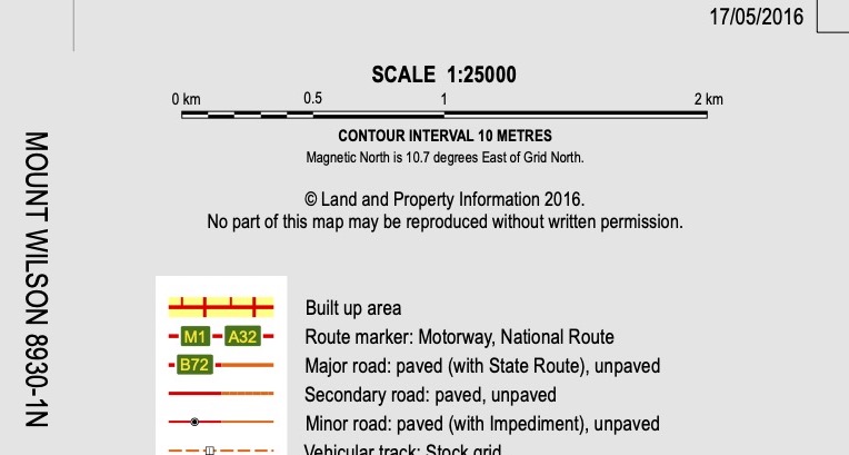
Declination diagrams can be found on maps created before about 2012 by the NSW Spatial Services. On the newer digital topographic maps, the diagram has disappeared. The grid/magnetic angle and direction are printed below the scale bar.
POSITIVE MAGNETIC DECLINATION
Note: on NSW topographic maps, only the Grid-Magnetic Angle and Grid Convergence are printed. The Magnetic Declination is not printed but it can be easily calculated. it is 12.4°.
IN SUMMARY
A declination diagram shows the angular relationship between True, Magnetic and Grid Norths.
The angle of interest is the angle between Magnetic North and Grid North: the Grid/Magnetic Angle.
If the Magnetic Declination (and therefore the Grid-Magnetic Angle) is:
- positive: Magnetic North is east of True North and moves in an easterly (or clockwise) direction.
- negative: Magnetic North is west of True North and moves in an westerly direction (anticlockwise).


